Mapserver - A Google-Maps-like Interface to your Data
The mapserver is an experimental feature. It’s based on Leaflet, a library written to create zoomable, map-tile interfaces. (Similar to Google Maps.) yt provides everything you need to start up a web server that will interactively re-pixelize an adaptive image. This means you can explore your datasets in a fully pan-n-zoom interface.
Note
Previous versions of yt bundled the necessary dependencies, but with more
recent released you will need to install the package bottle via pip or
conda.
To start up the mapserver, you can use the command yt (see
Command-Line Usage) with the mapserver subcommand. It takes several of
the same options and arguments as the plot subcommand. For instance:
yt mapserver DD0050/DD0050
That will take a slice along the x axis at the center of the domain. The field, projection, weight and axis can all be specified on the command line.
When you do this, it will spawn a micro-webserver on your localhost, and output the URL to connect to standard output. You can connect to it (or create an SSH tunnel to connect to it) and explore your data. Double-clicking zooms, and dragging drags.
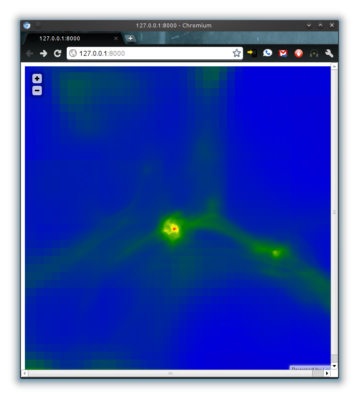
This is also functional on touch-capable devices such as Android Tablets and iPads/iPhones.